Description
Interactive World Maps GPL
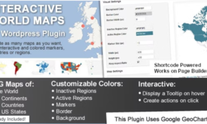
Interactive World Maps GPL – This is a WordPress plugin to create as many maps as you want, with interactive and colored markers, continents, countries, or regions.
Interactive World Maps GPL Overview
This is a WordPress plugin to create as many maps as you want, with interactive and colored markers, continents, countries, or regions.
Show Different Regions
You will be able to show hundreds of different kinds of maps, already included:
- A map of the entire world.
- A continent or a sub-continent. (Africa, Europe, Americas, Asia, Oceania and all their sub-continents)
- A country. (virtually all the countries in the world are included, featuring the most requested: USA, United Kingdom, Canada, France, Germany, Spain, Italy, Brazil, India, Australia…)
- A country is divided by its regions. *
- A state in the United States.
- The United States is divided by metropolitan areas.
- A state in the United States is divided by metropolitan areas.
Color Regions or add Markers
You can add active colored regions to the map, and display them in 2 different ways:
- As Regions – It will color the whole region, for example, a continent, subcontinent, country, country province, or a US state.
- As Markers -It will display a colored bubble in the chosen regions, which can be a city, a state, or a country.
Responsive
If no width is specified it will load with the maximum width available in the container div. For example, it will load and adapt with different sizes for phones/ipads/laptops. However, after loaded it will not change size if you resize the window.
Since version 1.4 the plugin includes an option to make the maps fully Responsive. This will use jQuery to check if the window size changed and will redraw the map with the new available space.
















Reviews
There are no reviews yet.